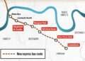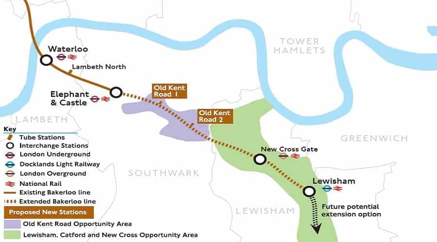


The desperate need for more tube stations south of the river has never been more on our minds more than now, as us south Londoners hold out for the new Bakerloo line, which will stretch from Elephant and Castle to as far south as Lewisham.
But just imagine if you could pop on the underground and go to Kent. Well a genius map does just that revealing what the London Underground would look like if you flipped it around.
Currently there are over 250 stations north of the River Thames, but just 29 to the south. Ironically it is only the Northern Line that makes any serious attempt to venture south.

Rather cruelly it leaves so many of us that live, work and see family between here and that garden of England just dreaming of when such a thing could happen. This map by Colour Country (which opens on the site by clicking the pdf link) extends as far into Kent as Tunbridge Wells, West Malling, Sevenoaks and Dartford. And finally places like Bexleyheath, Bromley and Orpington are on the Oxo.